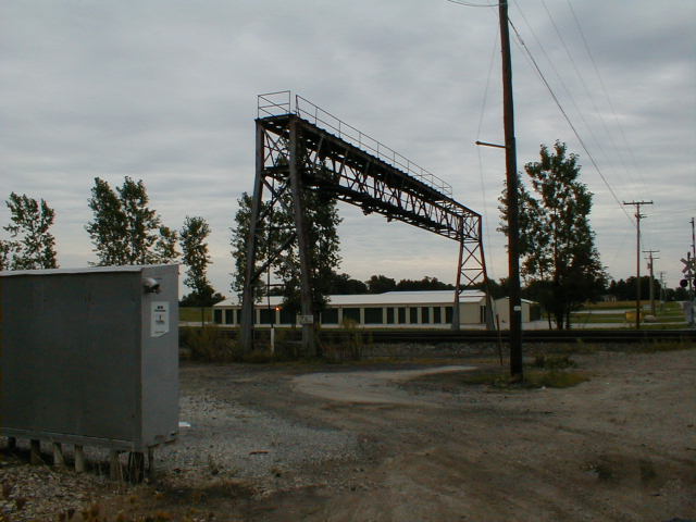
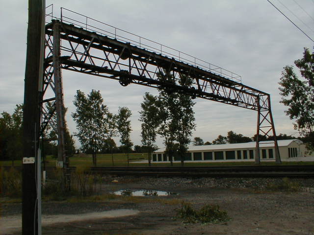
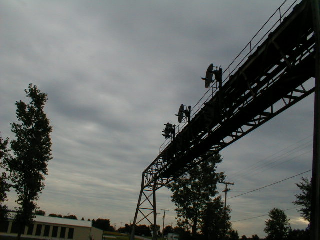
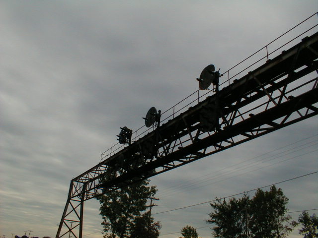
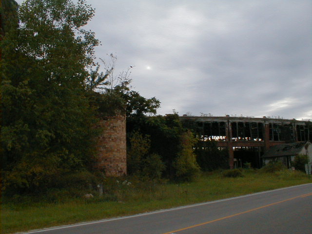
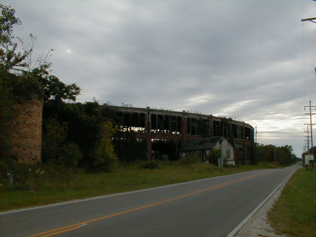
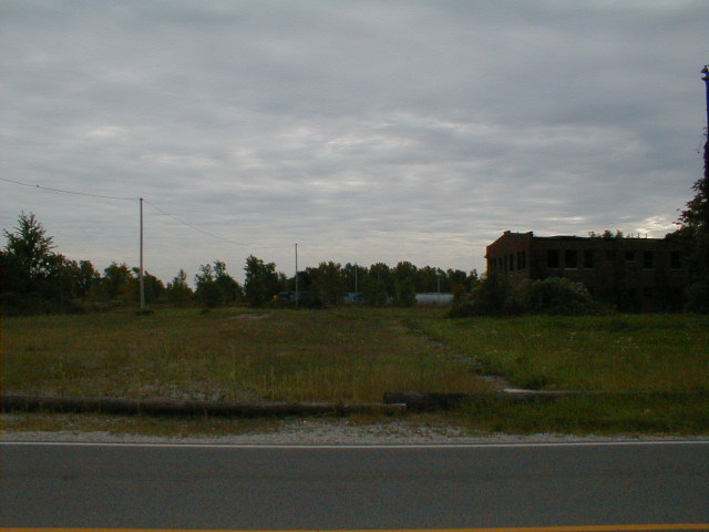
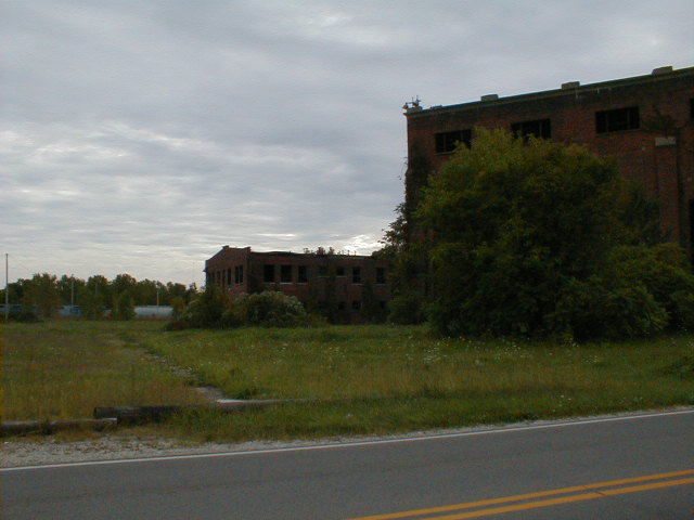
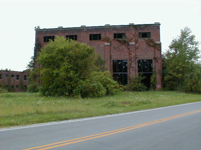
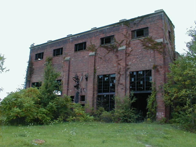
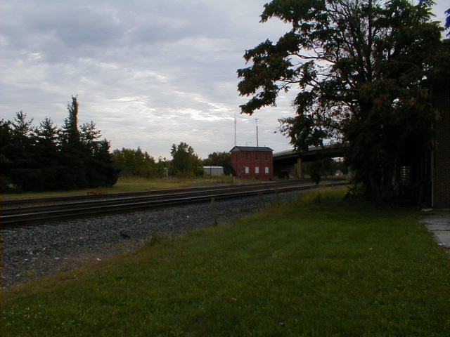
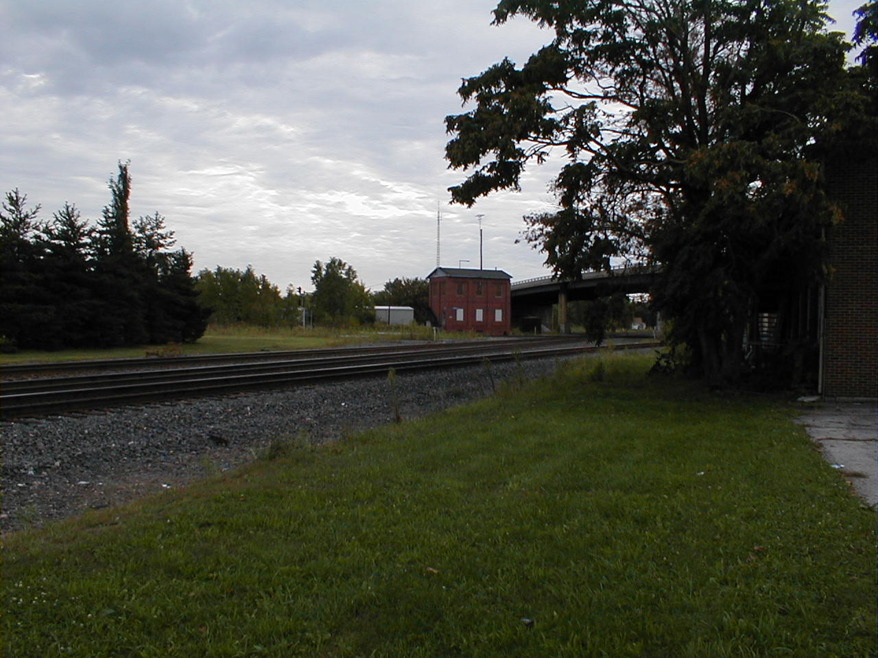
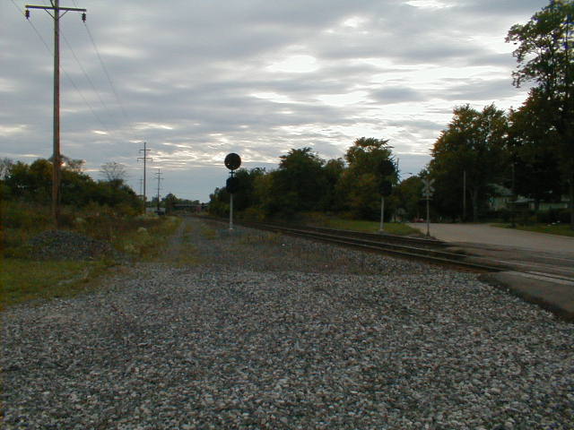
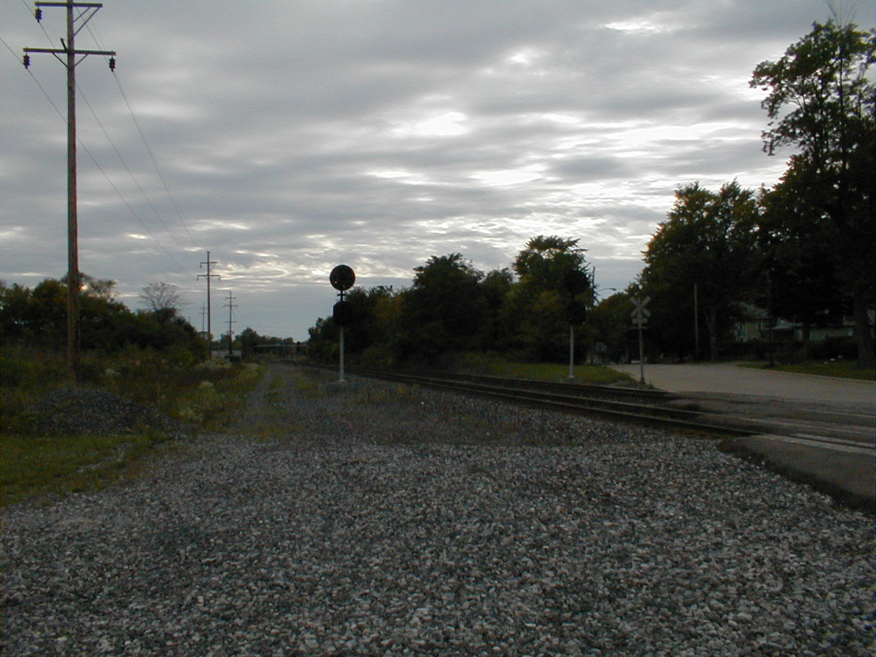
Present-day scenes from former Lines West
After a month of hard work on new system deployment, I managed to find 2 days to take off in September (2000); I took the opportunity to go west and scout out bits and pieces first of the Panhandle between Pittsburgh and Columbus on Tuesday, and then of the Bayard Branch from Steubenville to Rochester and the Fort Wayne between Alliance and Crestline on Thursday. (I'd already covered Pittsburgh to Alliance segment thoroughly on several previous trips, and I wanted to make sure to get to Crestline while it was still light out as my previous trip through Crestline was in the dark, and I'd gotten a late start that day.) I figure I'll make a trip back to Steubenville and then go up to Yellow Creek again soon, but that remains to be seen.
As both days were rather overcast I was sparing with the pictures, perhaps moreso than was called for. But as my camera is digital (an Olympus D-340R) it does a poor job in overcast situations outdoors. That said, here's what I shot, and some observations.
Panhandle
This was an interesting trip. Following from Pittsburgh to Mingo Junction, while the line wasn't always in plain view, was easy. Of course, it didn't hurt that I had good coverage of the entire area in USGS topo maps and a GPS receiver attached to my laptop to track myself on them. After Mingo Junction the line traverses rough country as it climbs up out of the Ohio Valley. A good bit of this is not paralleled closely by roads, meaning I often found myself at a dead end and looping back miles to get back near the line. In one case a road which would have gotten me back where I needed to be according to a USGS map was marked "Travel at own risk" and shortly proved unsuitable for my wife's minivan. I turned back and went the long way.
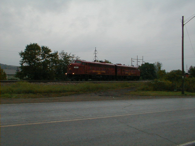
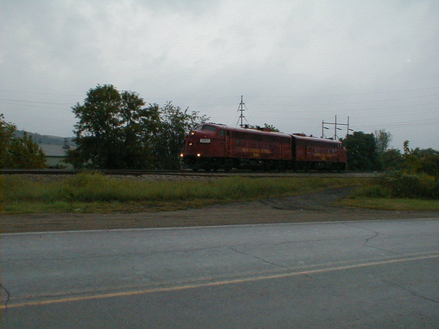
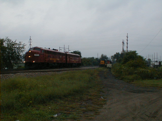
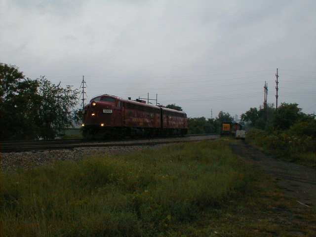
Didn't take many pictures. I probably should have shot the two cabooses in Coshocton, but it had just started to rain. I did, though, stop to shoot some Ohio Central power on the ex-NKP before crossing the river to again parallel the Panhandle.
Fort Wayne System
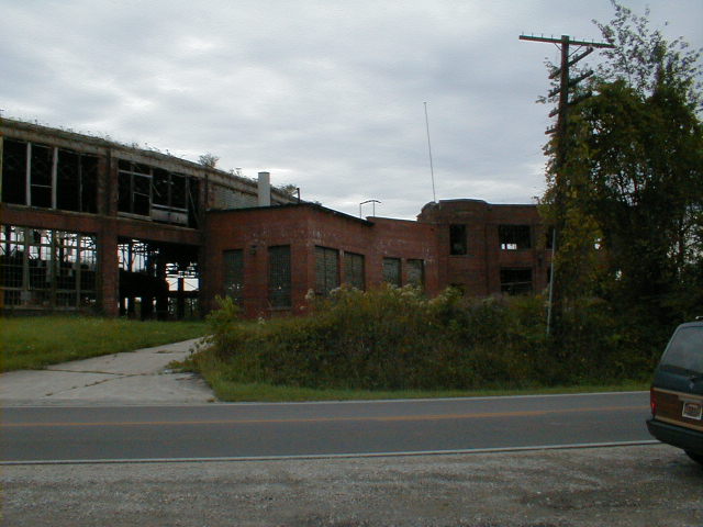
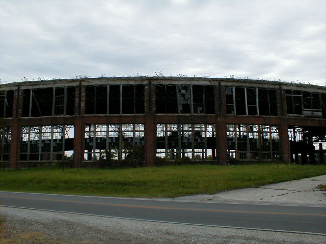
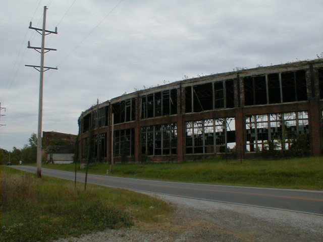
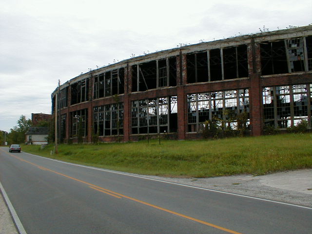
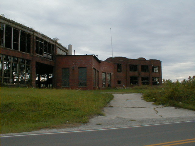
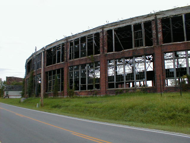
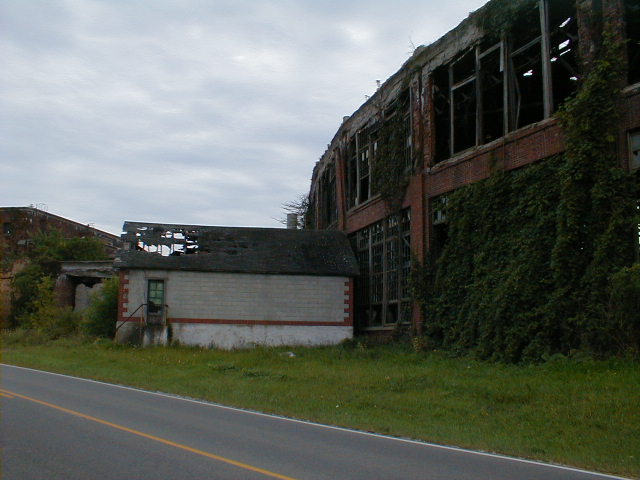
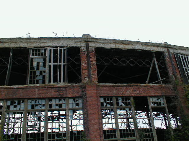
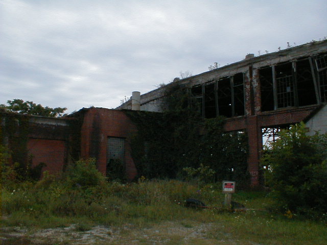
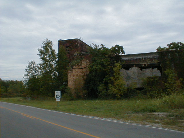
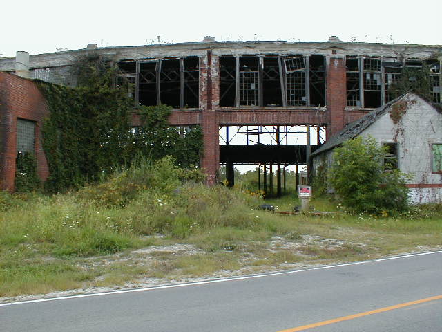
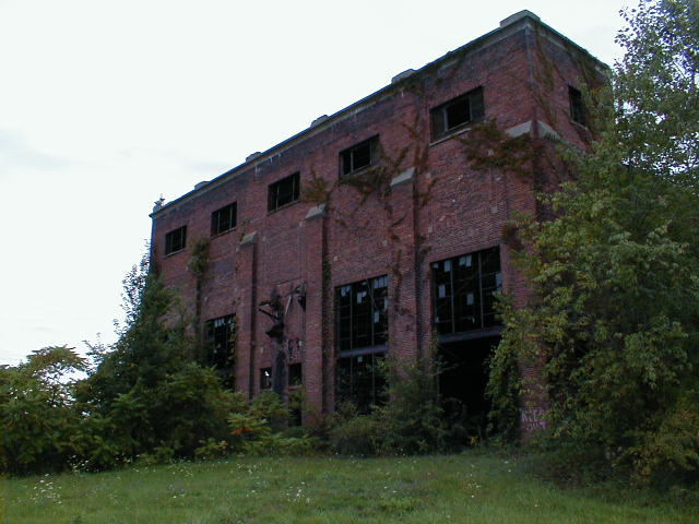
Didn't have much urge to stop for pictures early on, but I knew I'd be stopping in Crestline; I'd heard the surviving structures there were endangered. I had no idea.... (more comments after the pictures)
I dared not venture into the circle; The area was clearly posted "No Tresspassing", and given the state of decay even if it wasn't I wouldn't want to risk it. It's certainly a ghost of what it was. After venturing back into Crestline and getting those tower shots, a helper first ran north on track #1, then south on track #2 past the crossing on Bucyrus (Street? Avenue?) before presumably taking the spur to the Fort Wayne line.
In all it was an interesting pair of trips.